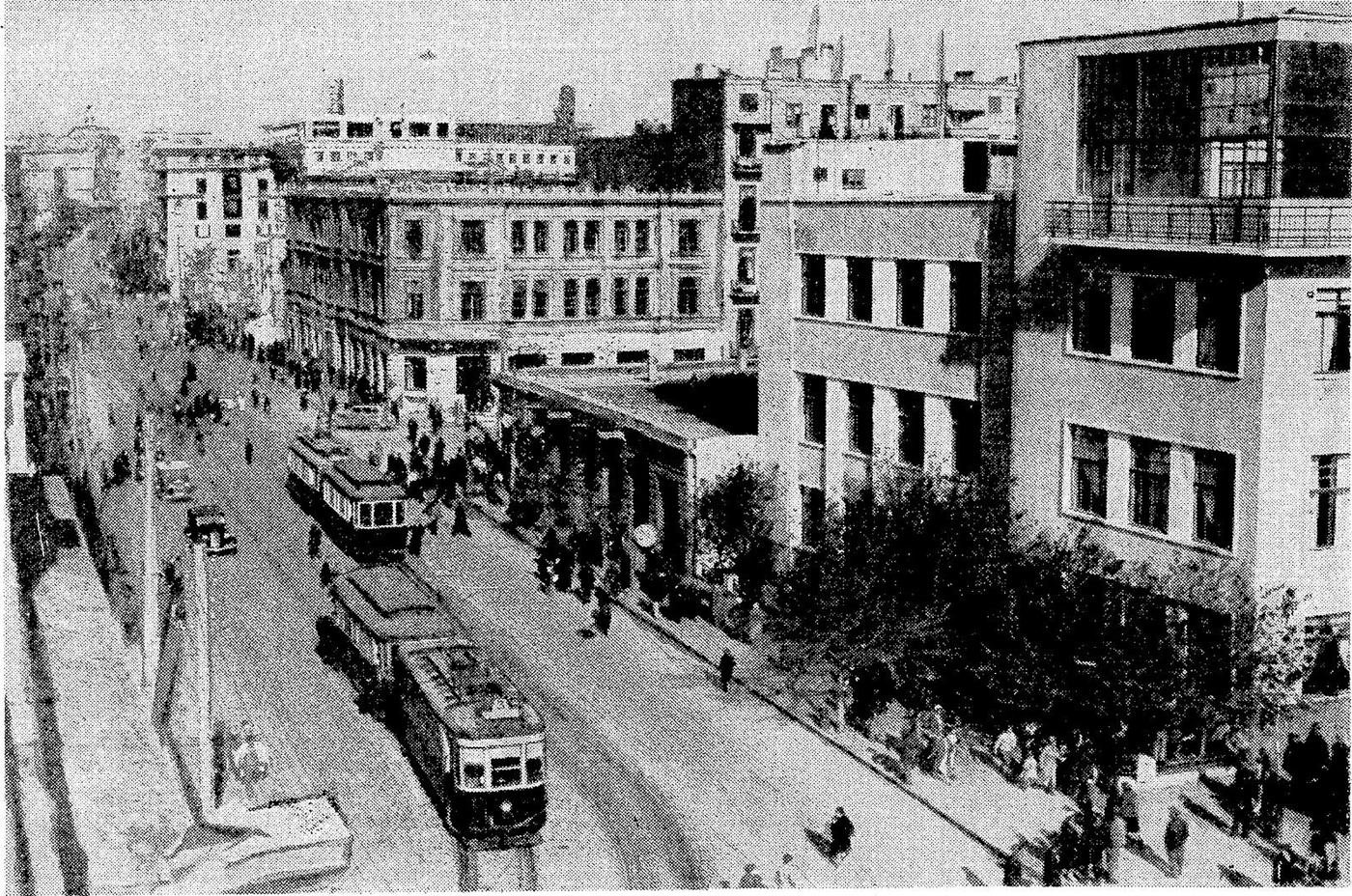
Routes and rails
Network
In its best years the tram tracks ran all across Baku — from the centre to the far settlements. The network grew along with the city and its oil industry.
Routes and rails
In its best years the tram tracks ran all across Baku — from the centre to the far settlements. The network grew along with the city and its oil industry.
Baku's tram network took shape over decades: new lines linked districts, depots served the fleet, and routes covered both the centre and the outskirts.
Network
The network grew fast: by 1939 the length of tram track in Baku reached its peak — about 117 kilometres. The tram became the city's main means of transport.
Lines ran along the central streets and stretched to workers' settlements and oilfields. By 1980 the network length was already about 70 kilometres.
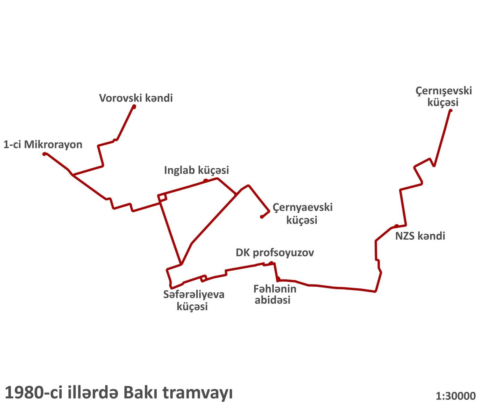
Network timeline
The main milestones of Baku's tram network.
Network
The tram was part of the cityscape: rails on the seafront, wires above the avenues, stops by the squares. It shaped the familiar picture of 20th-century Baku.
Through its routes one can read the history of the city — how it grew, where people worked and where they travelled every day.
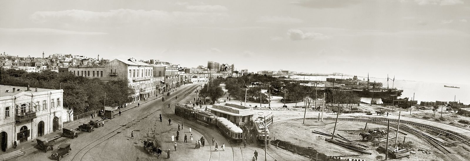
The length of the network and the number of routes changed over the years; figures are given from open sources.